This town broke the flood cycle and cut insurance costs
Walton, New York, faced repeated flooding and rebuilding until the community came together to fix it with small projects.

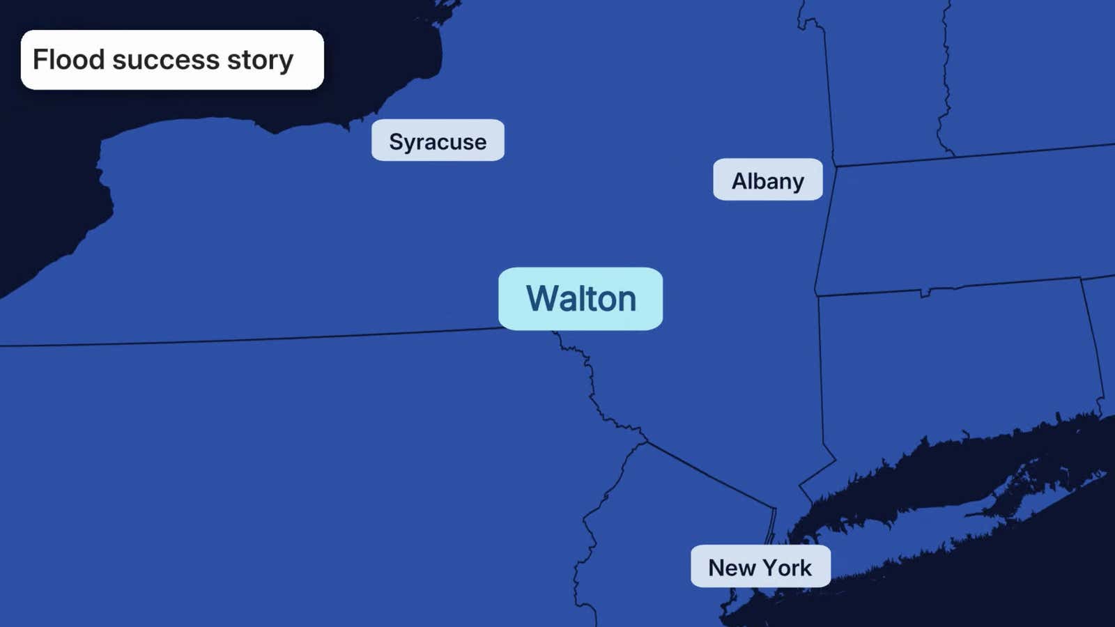
For years, Walton, New York, was stuck in a familiar cycle: flood, rebuild, flood again.
Every time the Delaware River and its tributaries overflowed, water poured into the same homes, farms and businesses. Every time, the cleanup ended with rebuilding in the same spots that had just flooded. We at Weather.com have covered similar stories dozens of times in the past.
But this community changed its approach. Instead of rebuilding where the water had been, Walton gave the water a place to go. The fix is working, and it is saving residents money.
Fewer floods, cheaper insurance
The town's strategy was simple: start with small projects now that would save residents money and from damage over time.
The restoration work also helped the village earn a Class 8 rating in FEMA's Community Rating System, a program that rewards communities going beyond minimum floodplain requirements with lower National Flood Insurance Program premiums. That Class 8 rating brings residents a 10% discount on their flood insurance policies.
(MORE: What To Do (And Not Do) During A Flood)
Get More of Our News on Google
Set The Weather Company as a 'Preferred Source' to get quicker access to the news you value.

The original problem: A river with nowhere to go
Walton is a village of about 3,000 people in eastern Upstate New York, situated along the Delaware River, which supplies water to New York City.
Over multiple decades, the town repeatedly flooded. Notably, a storm in June 2006 pushed the river over its banks and it happened again as 2011’s Tropical Storm Irene brought another round of damage.
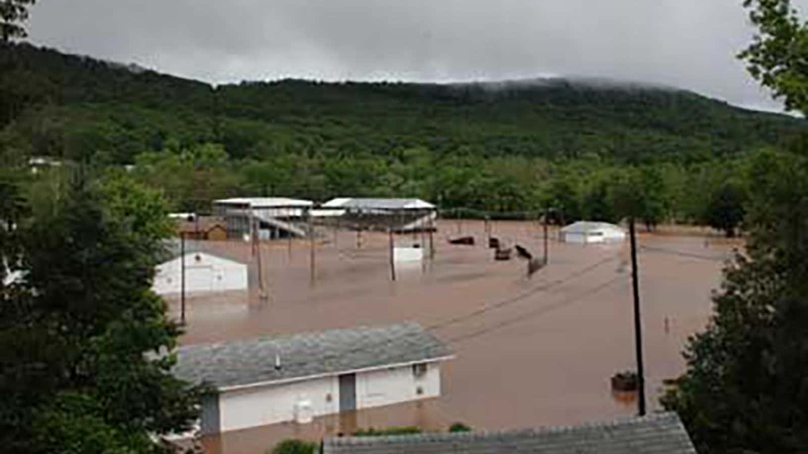
Flooding in Walton, New York, in June 2006
(Town of Walton, New York)
Part of the problem was man-made. Over the years, low-lying land along the river was filled in with gravel and built up, which raised and hardened the natural floodplain. When storms hit, the water had nowhere to spread out. It ended up in Walton's streets instead.
"Many people forget that the floodplain is part of the river," Graydon Dutcher, stream program coordinator with the Delaware County Soil and Water Conservation District, said in a NOAA case study of the project.
The process: Letting the community decide what and how to fix the flooding
"Our process was locally led, which meant that community members were involved in every step," Dutcher said.
A group of 25 residents and local leaders was formed to put together a strategy.
Initially, they hired a modeler to show various flood scenarios and past storms. They looked at both big events like Irene and smaller events that happen much more frequently, then received feedback from the public along the way. The public was informed on what would change and any impacts to their properties.
The town started with fixes aimed at the smaller, more frequent floods that cause damage most often. The bigger 100-year storms came in a later phase.
The long-term goal is to connect the restored sites so the river can reach its floodplain along a longer stretch.
(MORE: What your flood zone emergency kit should have)
Small projects first
The first project was along the West Brook, where a floodplain had been filled in. Crews removed the fill and regraded the land so floodwater could spread out and slow down instead of rushing toward homes.
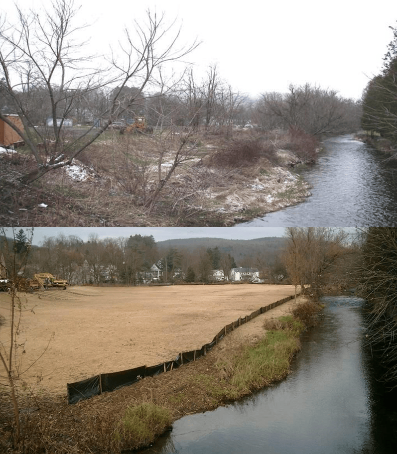
Before and after of the West Brook site in Walton, New York
(NOAA/Office for Coastal Management)
Next was a site along the first main street along the water. There, artificial fill sat higher than nearby Delaware Street, so runoff drained straight onto the road and then, unfiltered, into the river. According to the NOAA case study, plans for the 2.8-acre, $625,000 project include removing fill, regrading, restoring wetlands and planting native vegetation along the river.
A model for other towns
Walton's approach offers a model for other flood-prone communities. Instead of relying on taller walls or rebuilding in place only to flood again, the village worked with the river, restoring the floodplain nature had originally built.
If you live in a flood-prone area, ask your local floodplain administrator to reach out to FEMA to see if your community could save money on insurance and through disaster avoidance.
Loading comments...