Tropical Storm Isaias maps tracker: Forecast cone, spaghetti models and more
Isaias will bring rain, wind and storm surge to the Gulf Coast and is forecast to become the season's first hurricane.

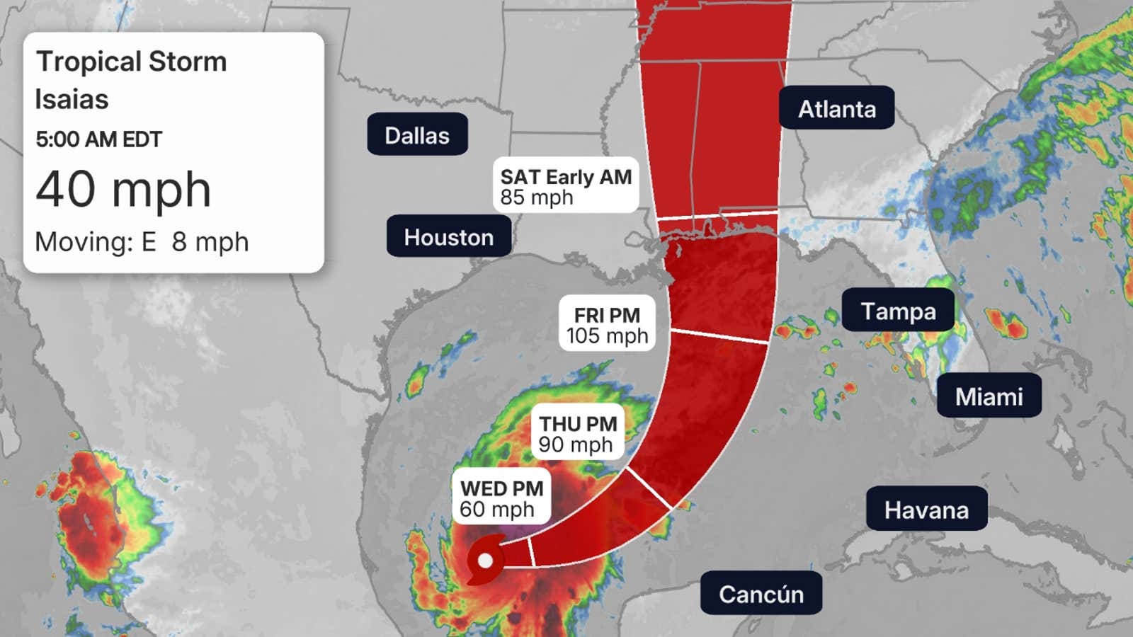
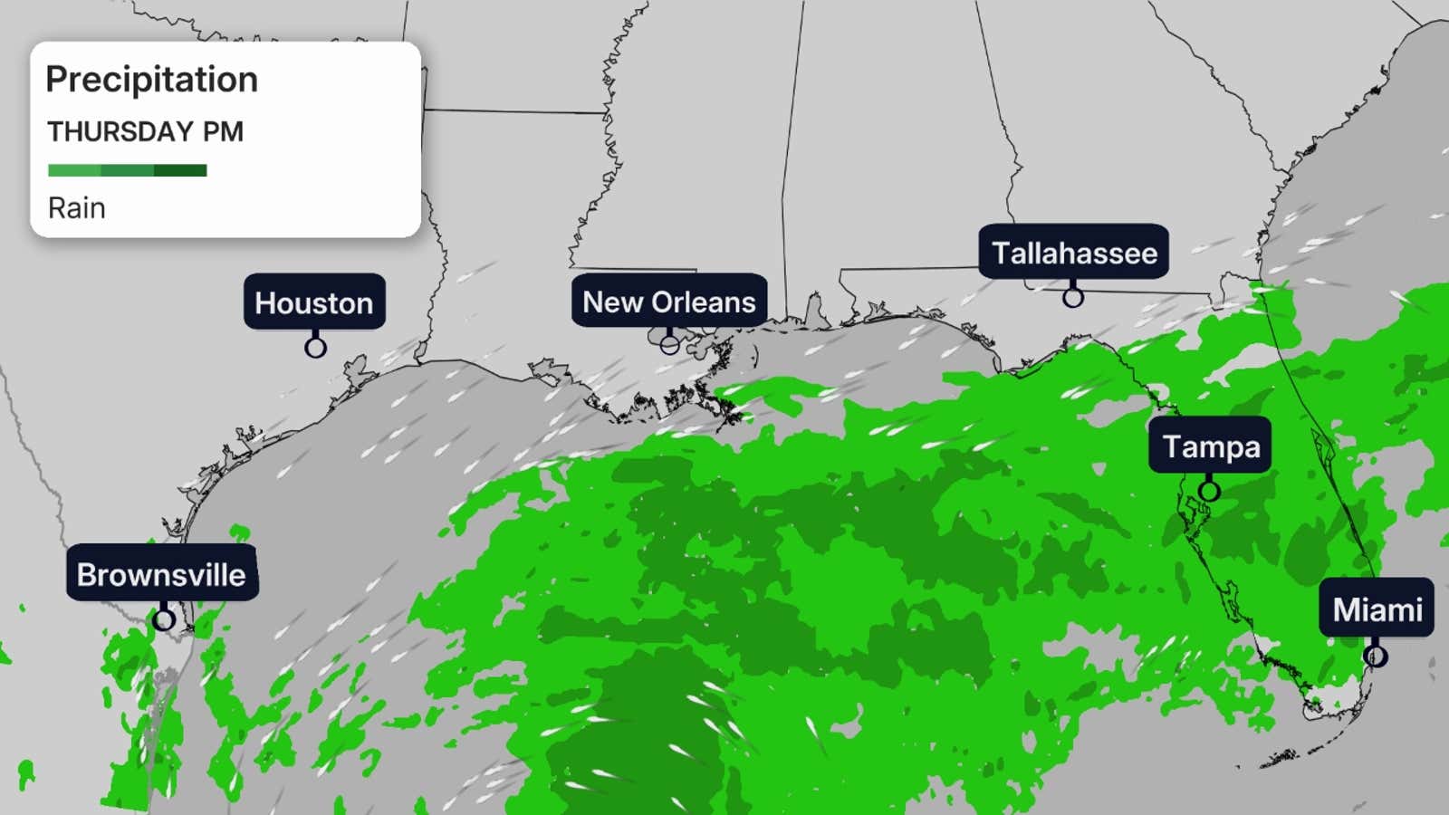
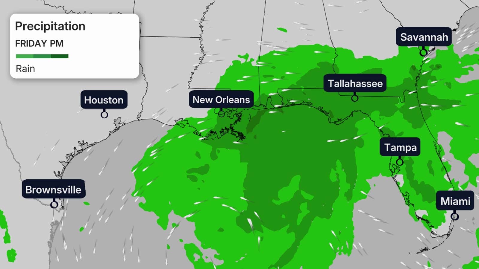
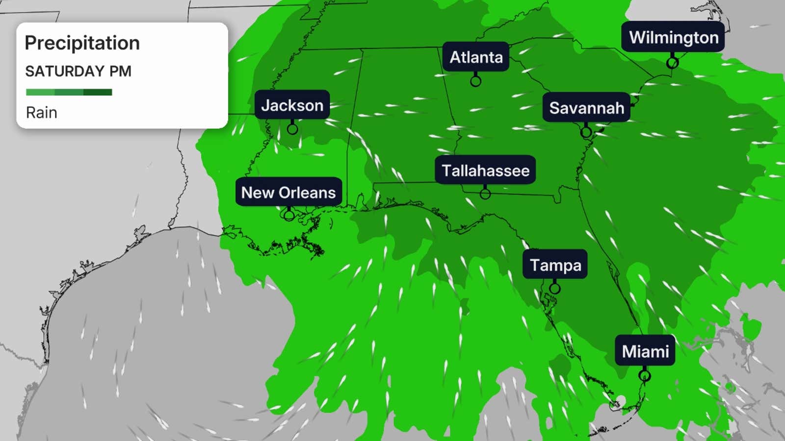
Tropical Storm Isaias, now forecast to become a hurricane, will bring heavy rain, storm surge flooding and high winds to the Gulf Coast and local flash flooding well inland in the Southeast this weekend.
That includes southern portions of Louisiana, Mississippi and Alabama and the Florida Panhandle. You can track the storm in all its twists and turns here.
For the latest forecast with full details on this storm, click here.
Current information
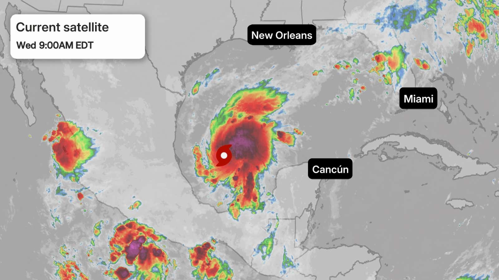
Current satellite
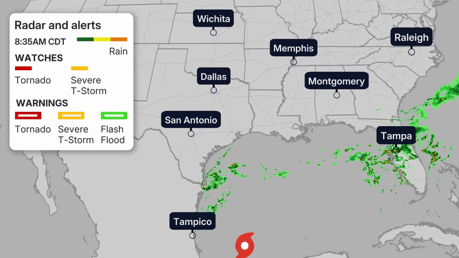
Current radar
Get More of Our News on Google
Set The Weather Company as a 'Preferred Source' to get quicker access to the news you value.

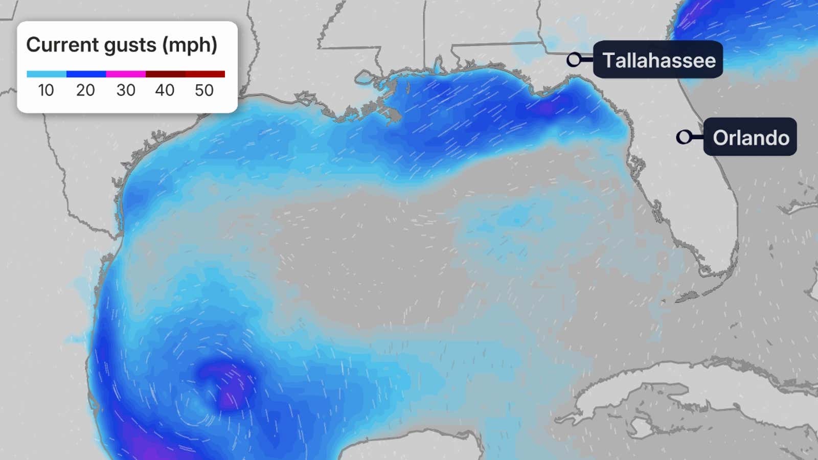
Current winds
Forecast path
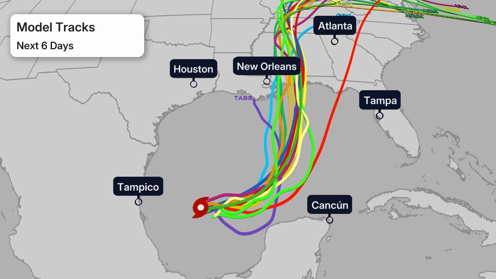
Spaghetti model tracks
Daily forecast
Potential impacts
Rainfall outlook
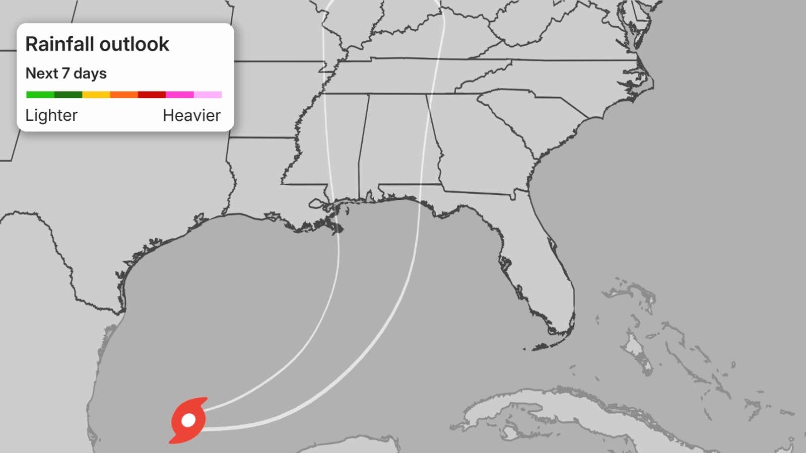
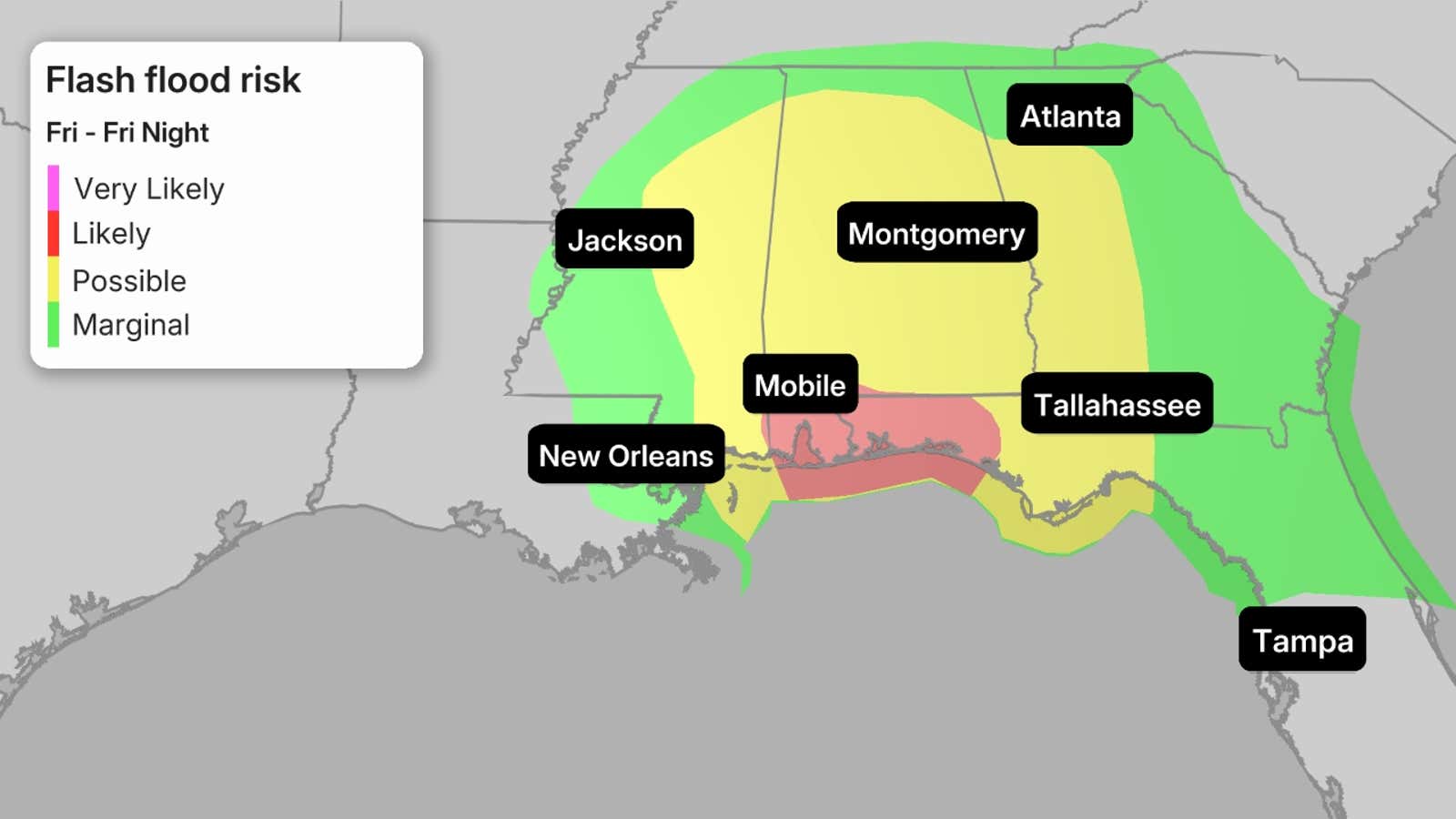
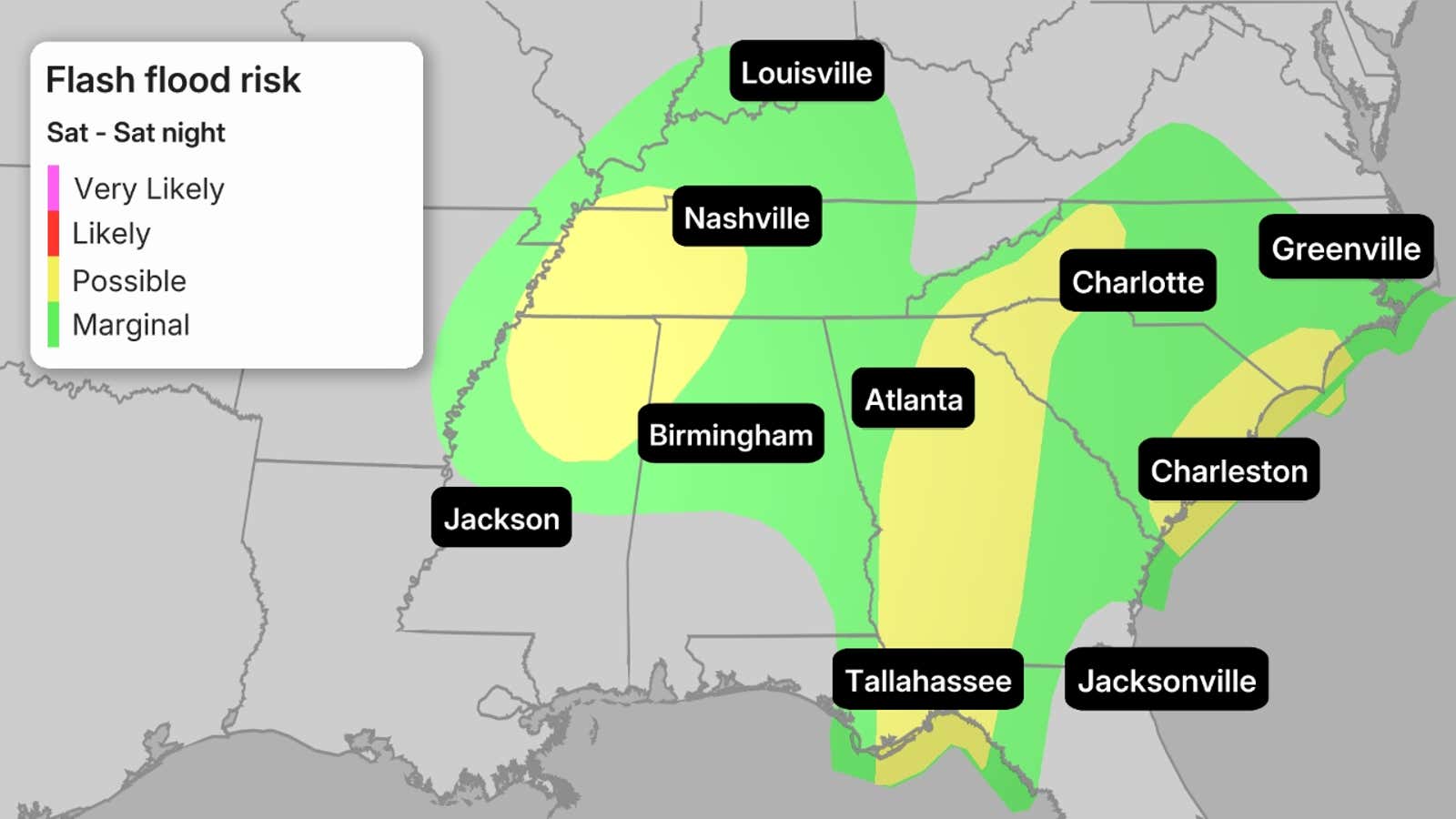
Flood potential
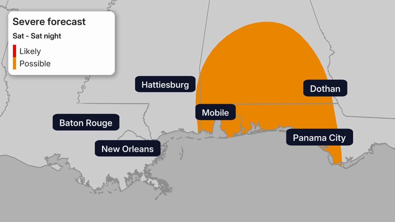
Severe weather (and possible tornado threat)
Environment around the storm
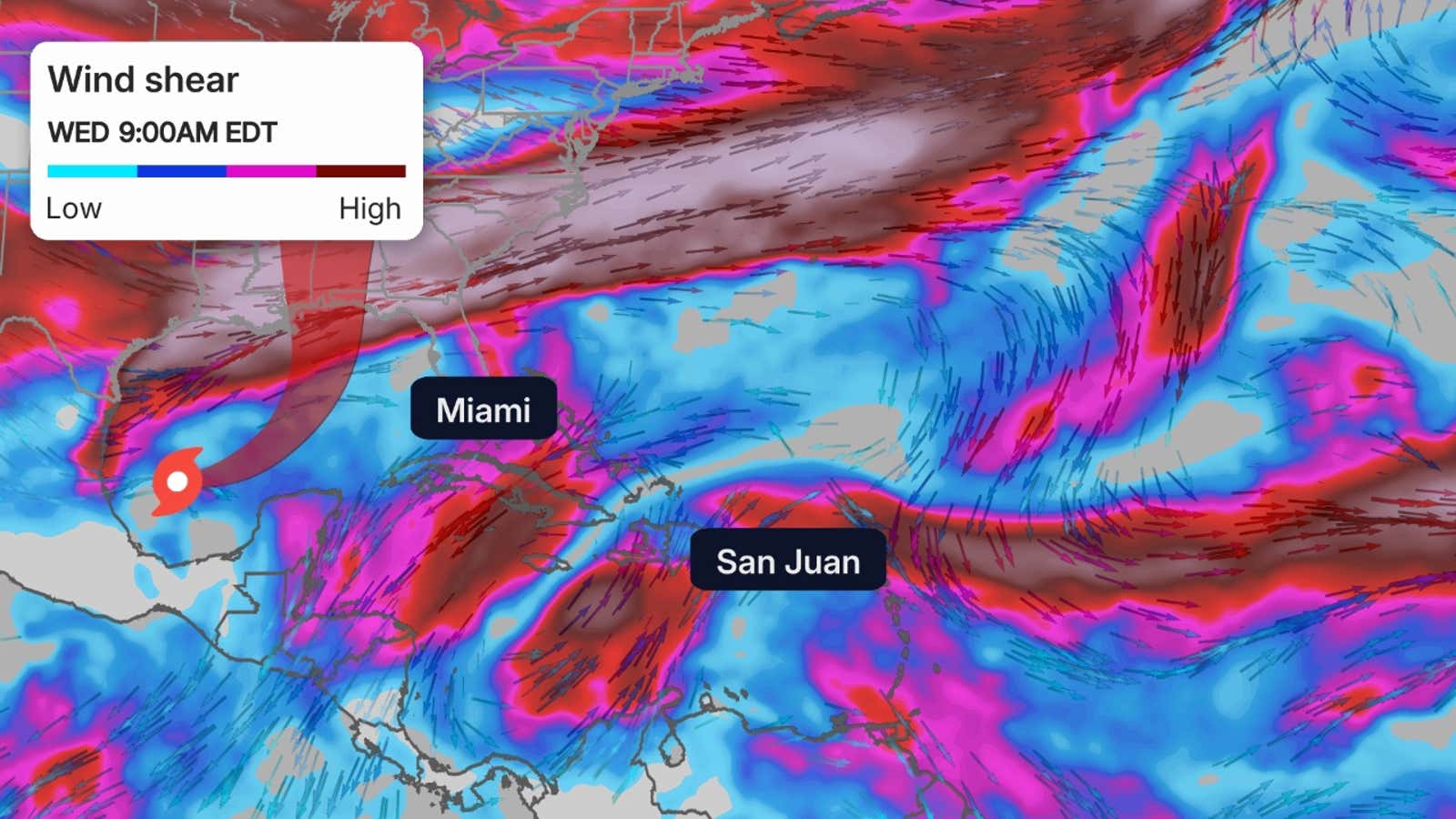
Shearing winds aloft
These are areas of strong wind shear, the difference in wind speed and direction with height, which are shown in purple. High wind shear is hostile to mature tropical cyclones and those trying to develop.
Water temperatures
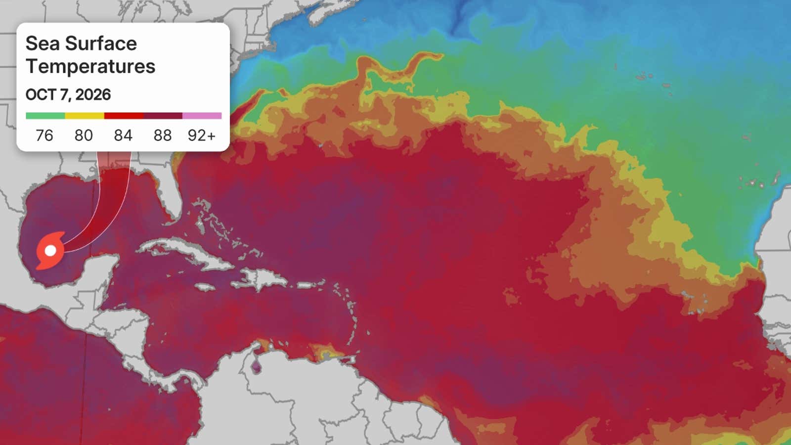
Sea surface temperatures above 80 degrees are generally supportive of tropical development
Season so far
Loading comments...